
Buying rural land can be exciting, but finding the exact property location is not always as easy as looking at an online listing. Remote parcels may sit far from paved roads, and property lines may not be easy to see from the ground.
If you are considering vacant land, learning how to find land boundary markers can help you understand what you are buying. Tools such as an Assessor’s Parcel Number, plat map, and GPS coordinates can help you locate a property and compare the map with what you see in the field.
These tools are useful for research, but they should not replace a professional survey when you need legally accurate property boundaries.
What Is an APN Number?
An APN, or Assessor’s Parcel Number, is a number used by a county or local assessor to identify a specific parcel of real estate. If you are wondering what is an APN number, think of it as an identification number for a piece of land.
The exact format varies by county. Some APNs contain numbers separated by dashes, while others use different numbering systems.
You can often find an APN on a property listing, county assessor website, tax records, or other real estate documents. Once you have the number, you can use it to search for the parcel in the county’s property records.
The APN can be especially helpful when a rural property does not have a traditional street address.
Use the APN to Confirm the Property
Before visiting rural land, start with the APN. Search for the parcel through the appropriate county property or assessor records.
Review the parcel’s location, acreage, ownership information, and available mapping information. Compare those details with the land listing you are considering.
This step can help you avoid confusion when several nearby parcels look similar. It can also help you identify the correct parcel before you start using GPS or planning a property visit.
Keep in mind that county mapping systems are primarily useful for property identification and taxation. Their parcel lines may not represent a legal survey.
Learn the Basics of Reading a Land Plat Map
A plat map shows the layout of parcels within a subdivision or recorded area. Learning reading land plat map basics can make rural property research much easier.
A plat may show property boundaries, lot numbers, roads, easements, rights-of-way, and other recorded features. It can also show dimensions or bearings that describe the boundaries.
Start by locating the parcel or lot number that matches the property you are researching. Then look at the surrounding roads and parcels to understand where the land sits.
Pay attention to access roads and easements. A road shown on a plat can help you understand how the property connects to the surrounding area.
However, do not assume every line on a digital map represents the exact location of a physical boundary marker. Maps and plats can provide valuable information, but a licensed surveyor is the appropriate professional for establishing or confirming legal boundaries.
Use GPS Coordinates to Find the General Location
GPS coordinates can be very helpful when you are inspecting vacant land. They can help you travel toward the general location of a rural parcel, especially when the property does not have a street address.
A listing may provide latitude and longitude coordinates. You can enter those coordinates into a compatible mapping or GPS application and use them to identify the approximate location.
Before traveling, compare the GPS point with the APN and plat map. Make sure the coordinates appear to match the parcel you are researching.
GPS accuracy can vary depending on the device, terrain, satellite conditions, and mapping data. A GPS point from a property listing may also represent an approximate location rather than an exact corner.
For these reasons, GPS should be treated as a navigation and research tool rather than proof of a property boundary.
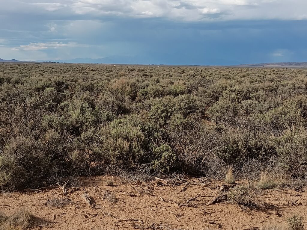
How to Find Land Boundary Markers
If you want to learn how to find land boundary markers, start with the property’s legal description and available survey information.
Boundary markers can take different forms. You might find metal pins, pipes, stakes, monuments, or other markers placed by a surveyor. Some may be difficult to see because vegetation, dirt, rocks, or weather can cover them.
Use the plat and legal description to understand where the corners should be located. Then use GPS to help navigate toward the approximate area.
Never move, remove, or replace a boundary marker yourself. If you find a marker, leave it where it is and document its location with photographs if appropriate.
If you cannot locate a corner or believe a marker may have been disturbed, contact a licensed surveyor. A professional can research previous surveys and use appropriate equipment to establish the property’s boundaries.
Compare the Map With the Land
When you arrive at the property, compare what you see with your maps.
Look for roads, fences, utility poles, natural features, neighboring parcels, and other landmarks. These features can help you understand whether you are in the right general area.
Do not assume that an old fence represents the legal property line. Fences can be placed for many reasons and may not follow the surveyed boundary.
The same applies to dirt roads and trails. A road crossing a parcel does not necessarily mean it marks a property boundary or provides a legal right of access.
Be Careful When Inspecting Vacant Land
Inspecting vacant land requires more preparation than visiting a developed property. Remote land may have rough roads, limited cell service, uneven terrain, or other conditions that make access difficult.
Bring the property information you collected before the visit. Save the APN, coordinates, plat map, and legal description so you can compare them while you are there.
It is also helpful to inspect the surrounding area. Understanding nearby roads, neighboring parcels, and access points can give you a better picture of the property’s location.
If the property is difficult to reach or the boundaries are unclear, consider getting professional help rather than guessing.
When You Need a Professional Survey
Maps, APNs, and GPS coordinates are excellent research tools. They can help you locate rural land and understand its general layout.
They cannot replace a legal boundary survey.
If you plan to build, install a fence, create a driveway, settle a boundary dispute, or make another decision that depends on exact property lines, consider hiring a licensed surveyor.
A survey can give you much greater confidence about where your property begins and ends.

Know Where Your Land Begins and Ends
Understanding how to find land boundary markers can make rural land research easier and help you become more familiar with a property before you buy.
Start with the APN. Review the county records and plat map. Use GPS coordinates to locate the general area. Then visit the property and compare the available information with what you see on the ground.
Just remember that these tools provide guidance, not a guarantee of exact legal boundaries. When accuracy matters, rely on a qualified surveyor.
Taking these steps before buying vacant land can help you understand the property’s location, access, surrounding parcels, and potential development challenges. Good research can make your land-buying process much clearer and help you make a more informed purchase.
Frequently Asked Questions
What is an APN number for a property?
An APN, or Assessor’s Parcel Number, is a number used by a county or local assessor to identify a specific parcel of real estate. You can often use the APN to find property records, maps, and other information about rural land.
What information can I find on a land plat map?
A land plat map may show parcel boundaries, lot numbers, roads, easements, rights-of-way, dimensions, and nearby parcels. It can help you understand the general layout of a property, but it should not be treated as a substitute for a professional boundary survey.
Can GPS coordinates show the exact property boundaries?
GPS coordinates can help you locate the general area of a rural property, but they should not be treated as proof of exact legal boundaries. GPS accuracy and mapping data can vary, so use coordinates together with property records, plats, and professional survey information when precise boundaries matter.
How can I find land boundary markers?
Start by reviewing the legal description, plat map, and available survey information to understand where property corners may be located. GPS can help you navigate to the approximate area. If a marker cannot be found or the boundary is unclear, a licensed surveyor can help establish the correct property lines.
Do I need a professional survey when buying rural land?
A professional survey may be important when exact property boundaries matter, especially if you plan to build, install a fence, construct a driveway, or resolve a boundary question. APNs, plat maps, and GPS are useful research tools, but they do not replace a legal boundary survey.